Planning a visit to Kakadu National Park is like stepping back through time — geologically and culturally. Whether you’re on a solo road trip or joining one of the popular tours, the layers of stone, story, and species will leave their mark. Here we will explain the geology of Kakadu National Park.
Kakadu isn’t just big — it’s ancient. Some rock formations date back over 2.5 billion years. That’s right: billion with a B. And the geology here isn’t just a backdrop. It’s a living, weathered map of time that shapes everything you see, hear, and feel.

From sandstone escarpments to ancient sea beds, Kakadu’s geological story begins long before us. Once you witness it, something shifts — a deeper respect for how this continent holds time.

Walking the Oldest Rocks in the Country
Kakadu sits on the Arnhem Land Plateau, part of the Pine Creek Orogen — one of Earth’s most geologically stable regions.
- Nourlangie and Ubirr outcrops showcase ancient sandstone
- The Kombolgie Formation stems from sediment laid down in the Paleoproterozoic era
- Fossilised ripple marks prove ancient water bodies once flowed here
Hiking here means walking through a layered library of deep time. Even a 2 day Kakadu tour can capture highlights like rock shelters and escarpments.

Kakadu’s Underwater Past
This now-tropical terrain was once submerged under ancient seas — more than once.
- Cliffs and plateaus began as seabeds
- Look out for horizontal strata and marine fossils
- Tectonic activity exposed these layers over millions of years
The result: dramatic escarpments that host waterfalls like Jim Jim Falls and weave into Dreaming stories.

How Geology Shapes Kakadu’s Landscapes and Life
Kakadu’s geology influences everything — from where animals roam to how water flows.
| Terrain Type | Geological Base | Ecological Impact |
|---|---|---|
| Stone Country | Sandstone plateau | Endemic species, sparse woodland |
| Savanna Lowlands | Lateritic soils | Bushland and open forests |
| Floodplains | Alluvial sediments | Seasonal wetlands, crocs and birdlife |
| Paperbark Swamps | Clay-rich subsoils | Retains water, supports aquatic plants |
Knowing these layers helps read the land — from where the waterholes hide in the Dry to which tracks will flood come November.

Where Dreaming Stories and Geology Collide
This is spiritually mapped land. For over 60,000 years, Bininj/Mungguy people have shared Dreaming stories tied to landforms.
- The Rainbow Serpent carved out gorges and billabongs
- Rock art is preserved thanks to sandstone overhangs
- Sites like Ubirr link geology with cultural memory
Here, geology isn’t just seen — it’s felt through stories and law.

Why Understanding Kakadu’s Geology Matters Today
Kakadu includes six major geological zones:
- Arnhem Land Plateau
- Lowlands
- Southern Hills and Basins
- Floodplains and tidal flats
- Escarpment footslopes
- Outliers
These zones shape biodiversity, climate resilience, and tourism planning.

Quick stats:
- Over 320,000 visitors came to Kakadu in 2024
- 1,500+ geology-focused Kakadu National Park tours were booked
- NT schools now include Kakadu field trips in Year 10 science
Understanding the geology helps with conservation, education, and future-proofing Kakadu.

Best Times to Explore Kakadu’s Stone Country
Dry Season (May–October): Best for hikes, open tracks, and scenic sites like Ubirr.
Build-Up and Wet (Nov–April): Stunning aerial views, flooded roads. Ideal for cultural centres and geology exhibits.
Pro tip: June–July brings ideal temps and accessible trails.

What to Pack for a Geology-Focused Kakadu Adventure
- Boots with grip
- Wide-brim hat and long sleeves
- Offline maps
- Loads of water
- Respect — don’t touch rock art, check for permits
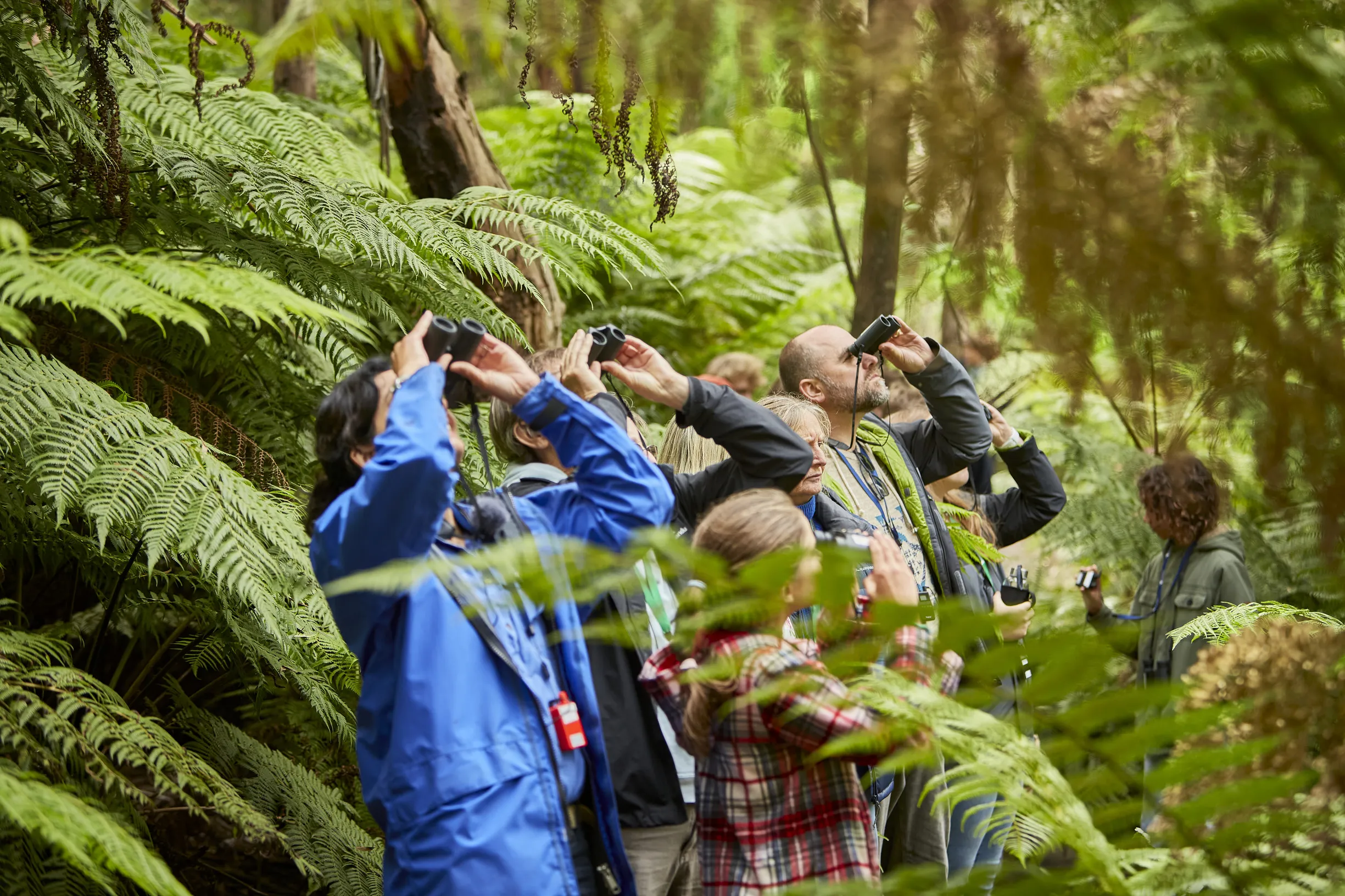
Small-group geology hikes with Wayoutback Tours include sites like Jim Jim Falls and are often led by Traditional Owners.

Final Thoughts: Reading the Rocks Like a Local
So — why is Kakadu’s geology so unique? Because it holds more than rock. It holds memory, culture, and life systems shaped over billions of years.
Next time you cross an escarpment or floodplain, pause. Listen. The land is still speaking.

FAQs
What is the Kombolgie Formation?
It’s Kakadu’s main sandstone layer, laid down around 1.7 billion years ago from ancient rivers and tides.
Why are Ubirr and Nourlangie important for geology?
They reveal sedimentary layers and marine fossils, and are significant cultural sites for Bininj/Mungguy people.
Can I see fossils in Kakadu?
Yes — marine fossils appear in some exposed sandstone faces.
Do I need a permit to hike in Kakadu?
Yes, a Parks Pass is required. Some cultural sites need Traditional Owner permission.
What’s the best way to learn about geology on-site?
Join a guided hike — especially one led by a Traditional Owner or ranger.